NASLAND
Menu
Home
About Us
Company History
Leadership
Awards
Services
Civil Engineering
Surveying Services
Land Planning Services
Portfolio
Careers
Contact Us
SURVEYING
SURVEYING
Types of Projects
ALTA Surveys
Property Metes and Bounds Surveys
Route Surveys
Topographic and Planimetric Mapping
Drone Aerial Surveys
Cross Sectional Surveys
Construction Stakeout
Control Surveys
Archaeological Site Surveys
Associated CADD services
Boundary Surveys
GPS
Photo Control Surveys
Right-of-way Stakeouts
Survey Computations
Construction Staking & Layout
Surveys for Traffic Signalization
Test Boring Location Surveys
Wetland Boundary Surveys
Lot and Building Stakeout
Final Certifications
As-built Surveys
Legal Descriptions & Exhibits
Record Plats
Well and Septic Stakeout
Subdivision, Parcel and Tract Maps
Monitoring Surveys
3D Laser Scanning
Project Portfolio
More Projects
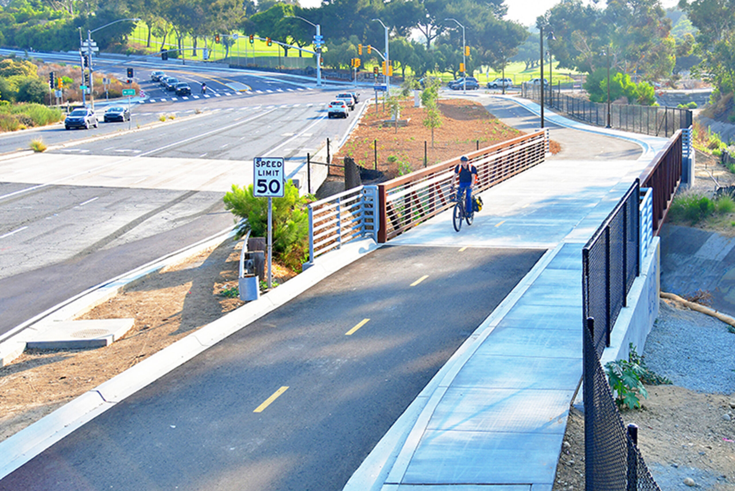
Pershing Bikeway
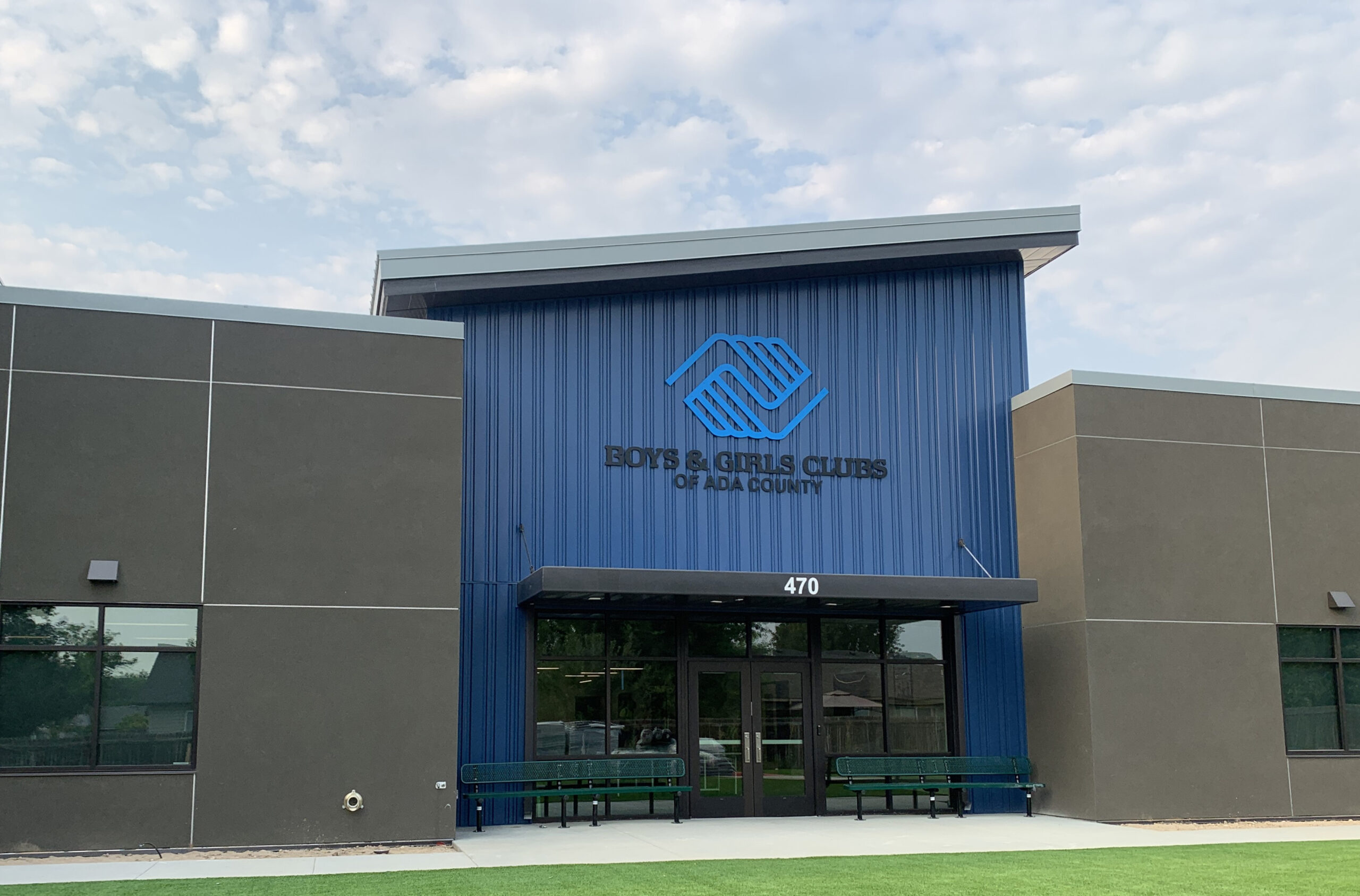
Kuna Boys and Girls Club
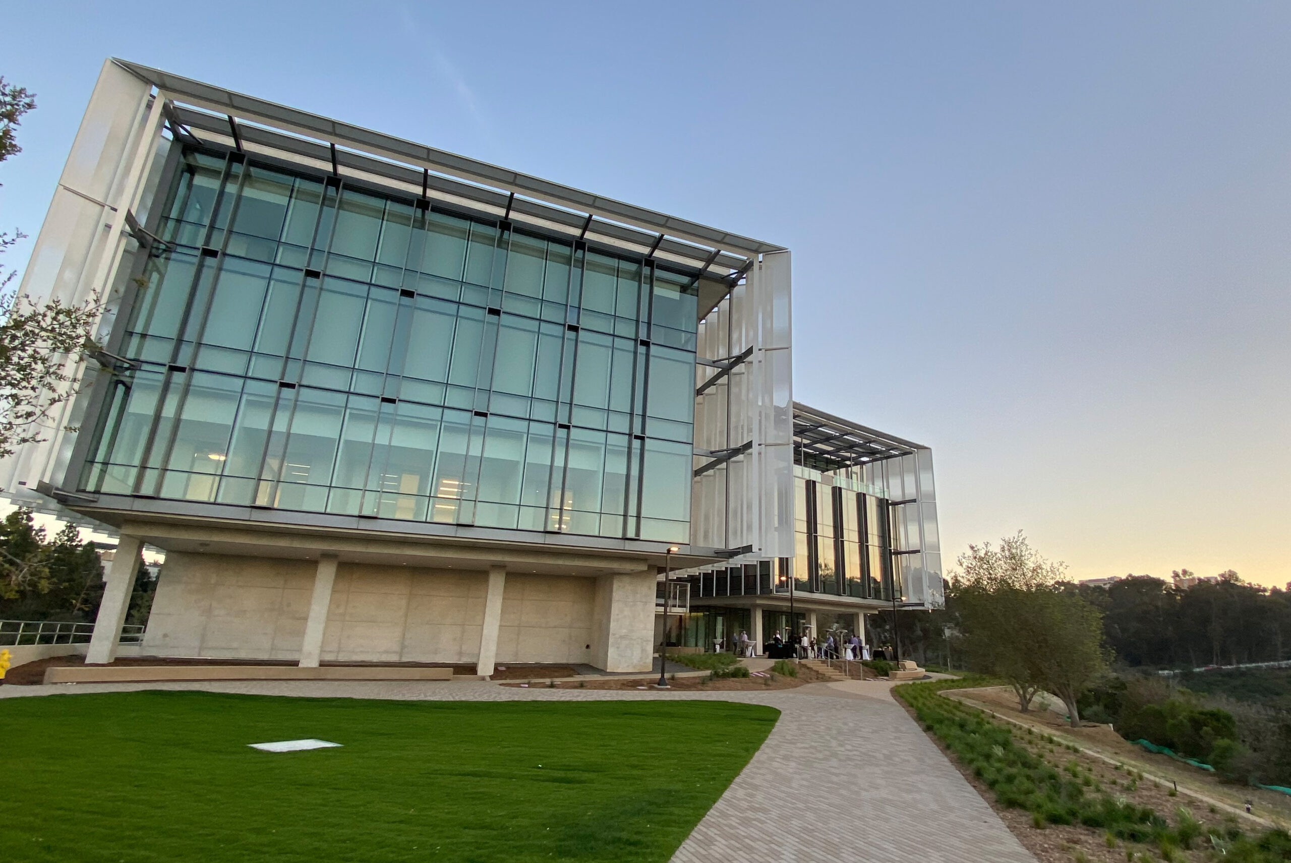
UCSD Franklin Antonio Hall
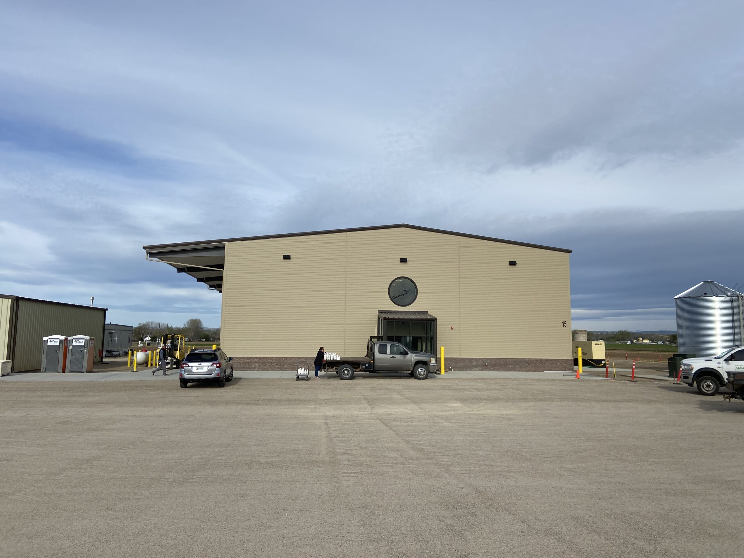
Bayer Seed Research Facility